
Why protecting freedom to protest is so important
Joanna Watson17 Jun 2025
Joanna Watson reflects on the role that protest plays in a healthy democratic society and why it underpins our campaigning, activism and legal work.
Full data analysis: England's onshore renewable energy potential
24 Apr 2025276 kB XLSX file
Download the spreadsheet containing our full data analysis on England's potential for onshore renewable energy.
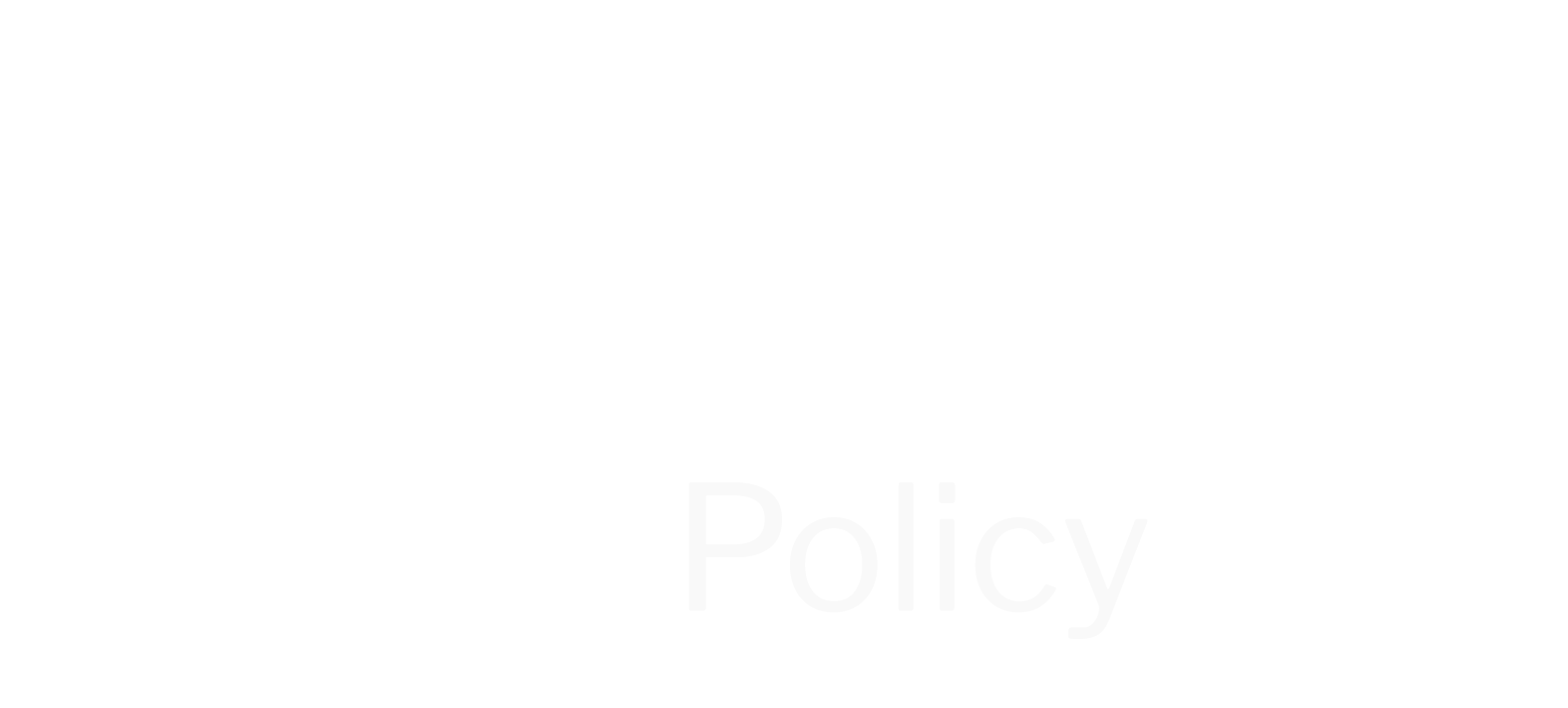
How England can produce more onshore renewable energy fast
24 Apr 2025
New analysis shows England has the space to become a green energy superpower. Find out how much and where new onshore wind and solar energy could be generated.
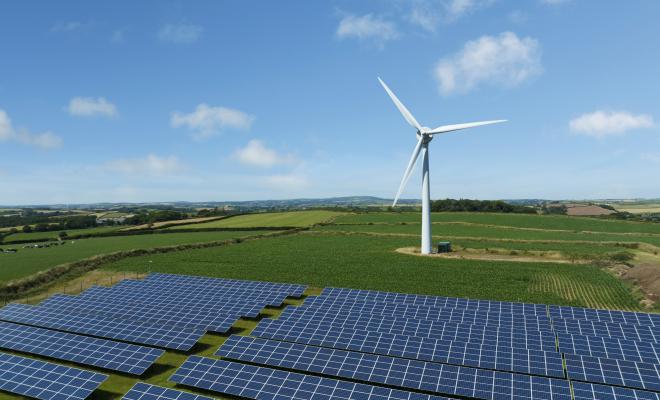
Which neighbourhoods have the worst air pollution?
01 Apr 2025
Air pollution poses a serious threat to lives and livelihoods. Find out which neighbourhoods in England and Wales have the highest levels of air pollution and how the impacts of dirty air are unfairly distributed across society.
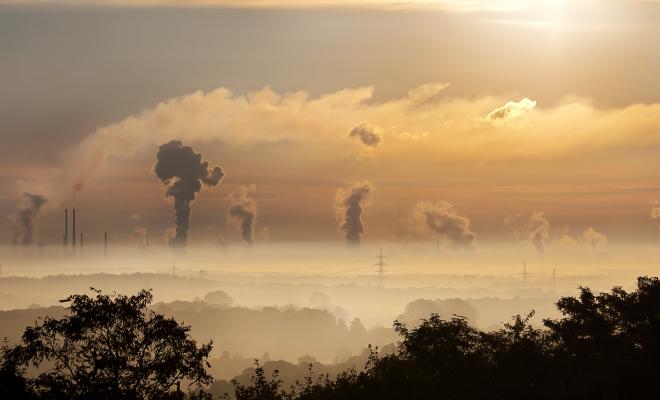
Sewage is a dirty word. Regulation isn't.
Paul de Zylva12 Feb 2025
The sewage pollution scandal shows the dangers of deregulation and weakening standards. Paul de Zylva asks how present ministers can make up for past failures and reboot regulation for good.
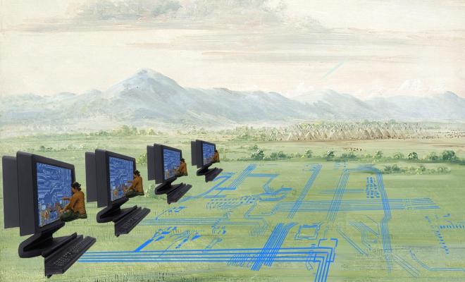
Harnessing AI for environmental justice
10 Feb 2025
Principles and practices to guide climate justice and digital rights campaigners in the responsible use of AI.
Three things the government must do to end the peat scandal
Paul de Zylva07 Feb 2025
If the government wants to restore depleted nature in the UK and reduce risks from climate breakdown, it must show a clean pair of hands on peat.
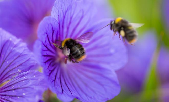
Why the government was wrong to ever allow banned neonics
Sandra Bell04 Feb 2025
Despite the ban on bee-harming neonic pesticides, the UK government repeatedly used a loophole to allow their temporary use from 2021 to 2024, against the recommendation of its own scientific advisors. The new government stopped this annual rigmarole in January 2025. It must now close the loophole and end all neonic use from now on.
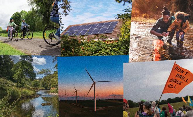
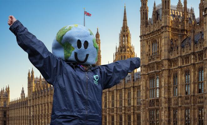
What we need in a Big Climate Plan that’s bolder and fairer
26 Sep 2024
Friends of the Earth is demanding a Big Climate Plan to cut emissions and improve people’s lives. Find out which policies we think the plan should include.
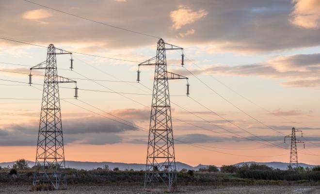
Reaching a net zero grid: our position
Magnus Gallie, Friends of the Earth's Senior Planner06 Aug 2024
Magnus Gallie explains how the UK’s electricity grid must change to avoid the worst landscape and nature harms while still decarbonising to meet climate targets.
Why climate and nature must be embedded in English devolution
Sandra Bell29 Jul 2024
Sandra Bell explains why we can’t solve the climate and nature crises without the engagement of devolved authorities, and what’s stopping effective action.
General election: scoring of manifestos and policies
24 Jun 2024382 kB XLSX file
This general election, for the first time, Friends of the Earth and Greenpeace UK teamed up to score party manifestos and current party policies. The 4 main political parties were scored against a set of 40 policy recommendations compiled by the 2 organisations. This spreadsheet has the details.
It’s time we paid farmers properly, and more
Paul de Zylva10 May 2024
Paul de Zylva examines the unsustainable future facing many UK farmers and the factors that should be considered in creating a fair price for farming.
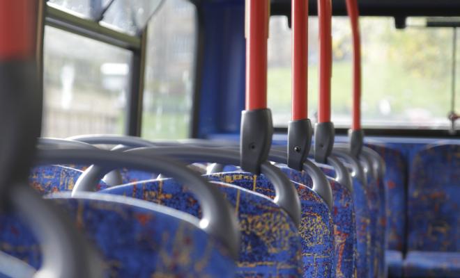
How Britain’s bus services have drastically declined
28 Nov 2023
New research shows that, while London has been spared, bus services have been slashed throughout the rest of the country. Find out who’s worst impacted.
Friends of the Earth’s demands for the general election
07 Nov 2023
We're demanding urgent climate and nature action from all political parties. Find out what we're calling for them to commit to in their election manifestos.