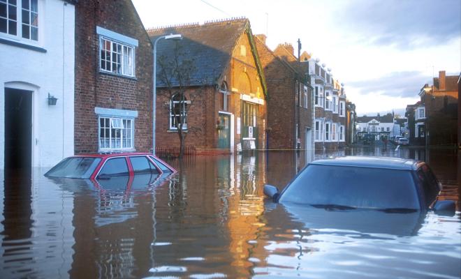
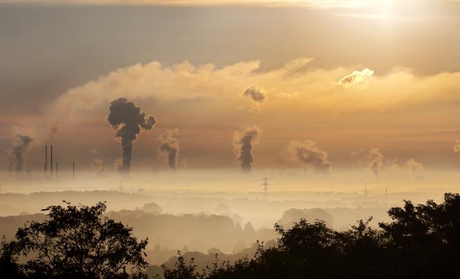
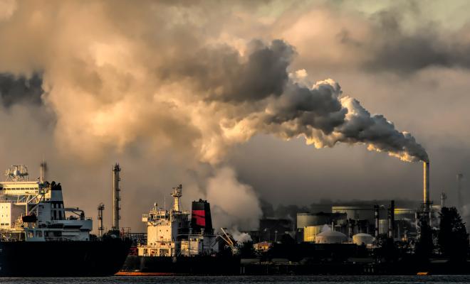
Fact check: Why it’s wrong to ignore climate science
Sandra Bell14 Jan 2026
Friends of the Earth’s Sandra Bell addresses disinformation claiming that climate change and extreme weather aren’t caused by human carbon emissions, presenting the evidence that climate change is real, human-driven, and already impacting those least responsible.
Challenging climate disinformation
Sandra Bell14 Jan 2026
In a series of fact-checking articles, Sandra Bell considers the evidence and challenges widespread disinformation about climate breakdown.
Three things the government must do to end the peat scandal
Paul de Zylva12 Nov 2025
If the government wants to restore depleted nature in the UK and reduce risks from climate breakdown, it must show a clean pair of hands on peat.
Why air pollution is an environmental justice issue
06 Nov 2025
Find out which neighbourhoods in England and Wales have the highest levels of dirty air and how its impacts are unfairly distributed across society.
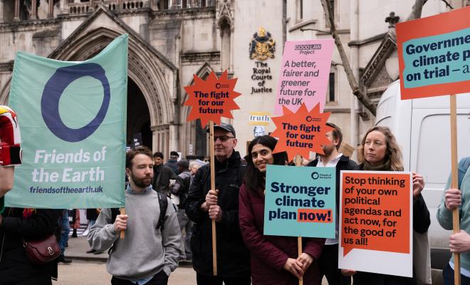
Is the government’s new climate plan fit for purpose?
Mike Childs30 Oct 2025
The government has just produced a new climate plan which it was legally obliged to do following the High Court ruling that the previous climate plan, produced under the previous government, was not fit for purpose. Friends of the Earth experts have rapidly delved into the details of the new climate plan to provide an assessment of whether this plan is a significant improvement or not.
Data centres - are our heads in the cloud?
Mary Stevens26 Oct 2025
Why the government urgently needs to rethink its approach to data centres and AI infrastructure.

Nature and climate crises – why English devolution is falling short
Sandra Bell30 Sep 2025
How English devolution fails to give regional authorities the power to address climate and nature breakdown and why we’re advocating an amendment to the new Bill.
How polluter pays taxes can fund a bold and fair climate plan
29 Aug 2025
Taxing polluting companies and wealthy individuals could fund climate action. Here we answer some common questions about how polluter pays taxes would work in the UK.

Which neighbourhoods are most vulnerable to heatwaves?
11 Aug 2025
New research identifies the areas in England most at risk from dangerous temperatures and how a new adaptation plan could mitigate the impacts.

Why protecting freedom to protest is so important
Joanna Watson17 Jun 2025
Joanna Watson reflects on the role that protest plays in a healthy democratic society and why it underpins our campaigning, activism and legal work.
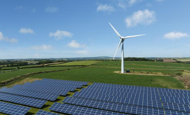
Full data analysis: England's onshore renewable energy potential
24 Apr 2025276 kB XLSX file
Download the spreadsheet containing our full data analysis on England's potential for onshore renewable energy.
How England can produce more onshore renewable energy fast
24 Apr 2025
New analysis shows England has the space to become a green energy superpower. Find out how much and where new onshore wind and solar energy could be generated.

Harnessing AI for environmental justice
10 Feb 2025
Principles and practices to guide climate justice and digital rights campaigners in the responsible use of AI.
Why the government was wrong to ever allow banned neonics
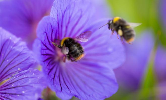
Sandra Bell04 Feb 2025
Despite the ban on bee-harming neonic pesticides, the UK government repeatedly used a loophole to allow their temporary use from 2021 to 2024, against the recommendation of its own scientific advisors. The new government stopped this annual rigmarole in January 2025. It must now close the loophole and end all neonic use from now on.
What we need in a Big Climate Plan that’s bolder and fairer
26 Sep 2024
Friends of the Earth is demanding a Big Climate Plan to cut emissions and improve people’s lives. Find out which policies we think the plan should include.